Pacific Coast Highway – Map, Best Stops & Best Time to Drive
Pacific Coast Highway – Map, Best Stops & Best Time to Drive
There’s something unforgettable about driving the Pacific Coast Highway, California’s most iconic road trip. Stretching for over 600 miles along the rugged coastline, this legendary route takes you past dramatic cliffs, hidden beaches, redwood forests, and vibrant coastal towns.
Whether you’re here for a weekend escape or the full San Francisco-to-Los Angeles journey, the Pacific Coast Highway (also known as Highway 1) offers a driving experience that blends natural beauty, coastal charm, and a taste of classic California adventure.
Best Time to Drive the Pacific Coast Highway
You can drive the Pacific Coast Highway any time of year, but each season brings a different experience:
- Spring (March–May) – Wildflowers bloom along the coast, the weather is mild, and traffic is lighter.
- Summer (June–August) – Peak season, with long days and bustling coastal towns, but expect crowds and higher prices.
- Fall (September–October) – Clear skies, fewer tourists, and some of the best driving weather of the year.
- Winter (November–February) – Quieter roads, dramatic coastal scenery, and the chance to spot migrating whales — though rain and landslides are possible.
💡 Tip: Before you go, check our live weather feature to preview conditions along the route. You’ll avoid foggy mornings, catch the clearest views, and make the most of your drive.
Pacific Coast Highway Attractions
Every stretch of Highway 1 has something to offer. Here are a few highlights you won’t want to miss:
- Golden Gate Bridge – San Francisco
Start your journey with one of the world’s most iconic landmarks. - Santa Cruz & Monterey Bay
Visit the Santa Cruz Boardwalk or stop by Monterey’s Cannery Row and world-famous aquarium. - Big Sur
The crown jewel of the route — rugged cliffs, dramatic viewpoints, and the famous Bixby Creek Bridge. - Hearst Castle – San Simeon
A stunning hilltop estate filled with art, history, and sweeping ocean views. - Santa Barbara
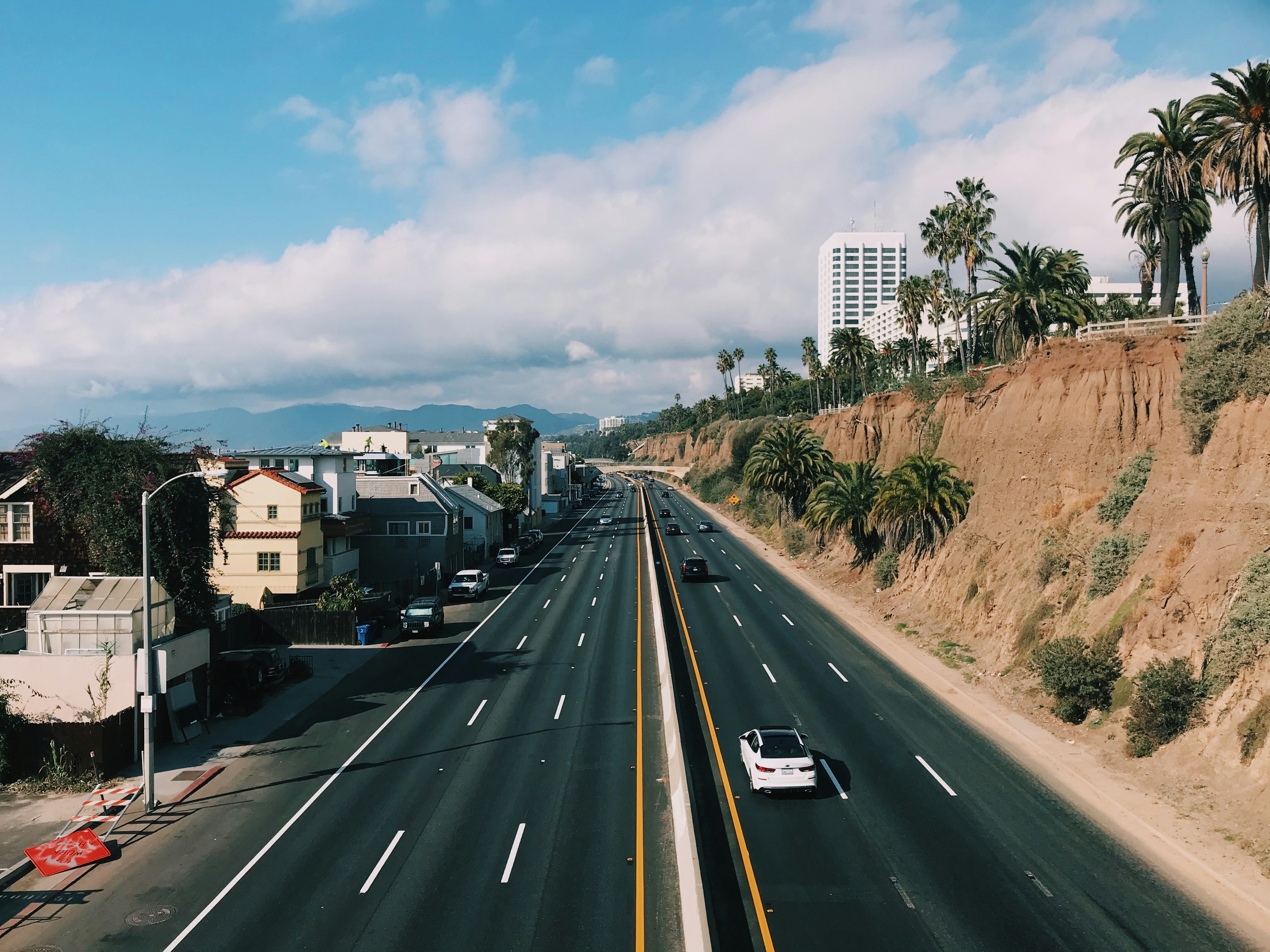
Known as the “American Riviera,” with Spanish-style architecture and golden beaches. - Malibu to Los Angeles
Surf culture, celebrity homes, and a classic California finish to your journey.
3-Day Pacific Coast Highway Itinerary
Day 1: San Francisco → Monterey
- Cross the Golden Gate Bridge.
- Stop in Half Moon Bay and Santa Cruz.
- Overnight in Monterey or Carmel-by-the-Sea.
Day 2: Monterey → San Simeon
- Spend the morning exploring Big Sur.
- Visit Pfeiffer Beach and Bixby Creek Bridge.
- Tour Hearst Castle before an overnight stay in San Simeon.
Day 3: San Simeon → Los Angeles
- Drive through Santa Barbara for lunch.
- Enjoy coastal views through Malibu.
- End your trip in Los Angeles with sunset at Santa Monica Pier.
Planning Tips
- Fuel & Facilities: Gas stations can be sparse in Big Sur. Fill up in Monterey or Carmel before heading south.
- Timing: Allow extra time for photo stops and slow scenic stretches.
- Events: Check for local festivals, surf competitions, or wine tours along the way.
Pacific Coast Highway Weather
The coast is known for its microclimates. One section can be sunny while the next is wrapped in fog. In summer, the famous “June Gloom” often brings overcast mornings, while fall typically offers the clearest skies.
Our Forecast Slider lets you preview weather along the exact route, from San Francisco’s fog to Malibu’s sunshine, so you can plan your drive with confidence.
FAQs
How long does it take to drive the Pacific Coast Highway?
The full San Francisco–Los Angeles route takes about 10–12 hours without stops, but most travelers spread it over 2–5 days.
When is the best time to drive the Pacific Coast Highway?
September and October are considered the best months for clear skies, fewer crowds, and ideal driving conditions.
Plan Your Pacific Coast Highway Trip
Bring your Pacific Coast Highway road trip to life with our app — complete with live weather updates, route planning, and must-see stop recommendations.


